Showing posts with label Hiking. Show all posts
Showing posts with label Hiking. Show all posts
Sunday, January 18, 2009
Tweedsmuir Park - Rainbow Range
Finally finished the story on our trip to Tweedsmuir park back in August.


Monday, August 11, 2008
A Shot of Brandywine
Killaine & I gave Brandywine mountain a shot today. Brandywine is a pleasant summit south of Whistler, on the same Cheakamus / Squamish divide as Cypress Peak. I'd climbed it once before several years ago. We were hoping we'd have a bit more luck on Brandywine than we had on Cypress Peak a week ago!

The usual "truck at parking area" shot
For some peculiar reason, I chose to drive to the 2WD parking area, rather than the 4WD area (which is about 365m higher, and a couple of kilometres closer). This made the day a bit more challenging than it needed to be!

Killaine hiking up the Brandywine trail
But, soon enough we got to the meadows. Still a bit of cloud lingering, but it cleared off through the day.
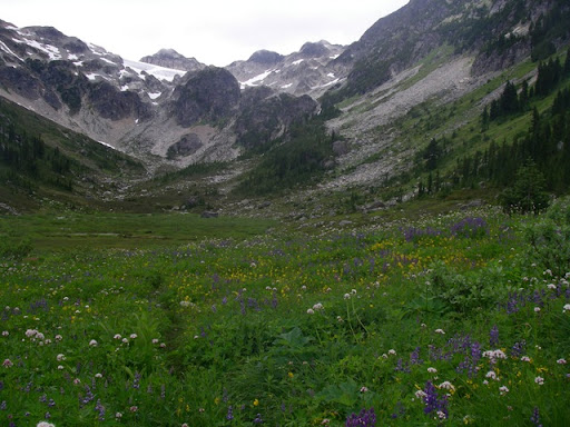
Brandywine meadows
The route is reasonably straightforward - through the meadows, then head up easy slopes to the south ridge of Brandywine.

Killaine climbing out of the meadows towards the ridge

The summit beacons
But ... we started running out of time (due to taking the "long start"!). At about 3:00 pm we were still a little ways from the summit ... so we decided to head back.
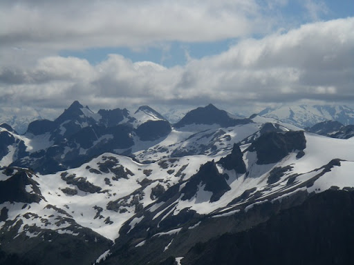
Great views from the upper ridge of Cypress Peak (center) and Tricouni (to the left).
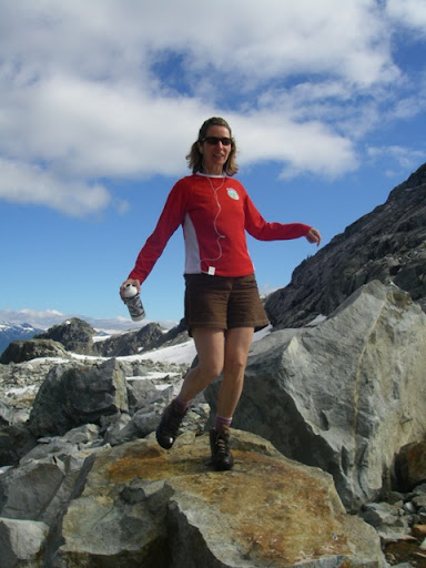
Killaine takes a "dance break" on the way down
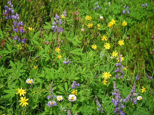
Beautiful flowers!
Finally, back to the truck at about 7pm. Then, all that was left to do was to grab some of the biggest rocks I could lift, and put them in the truck ... for our garden at home!

A small load of rocks
Sunday, August 10, 2008
Mount Gardner
The weather forecast for today was kind of touch & go, so rather than investing the time to travel further afield, Killaine & I decided to head off to one of the islands on Howe Sound for a short hike.
We had originally planned on hiking up Mt. Liddell, on Gambier Island. But, the parking at the Horseshoe Bay ferry terminal was full, so we ended up changing our plans to take the car over to Bowen Island and hike up Mt. Gardner.
It's a pleasant hike up through the trees, with nice views across to Vancouver, and up the Sunshine coast. Only about 3 hours return - so left plenty of time for beers back down at Snug Cove.

Killaine hiking up the easy trail

View across to Vancouver from the top

Killaine & I at the top
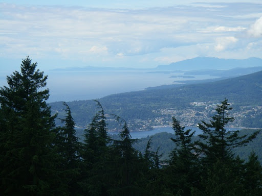
View up the Sunshine Coast
Wednesday, August 6, 2008
Giving Cypress Peak a Shot
Killaine & I went out on "BC Day" (August long weekend - Monday) to try and climb up Cypress Peak. Cypress Peak, not associated with Cypress Bowl, is a rocky peak on the Squamish/Cheakamus divide.
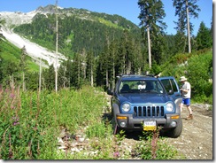
The logging road in was in really, really good shape! We were able to easily drive all the way to the trailhead.
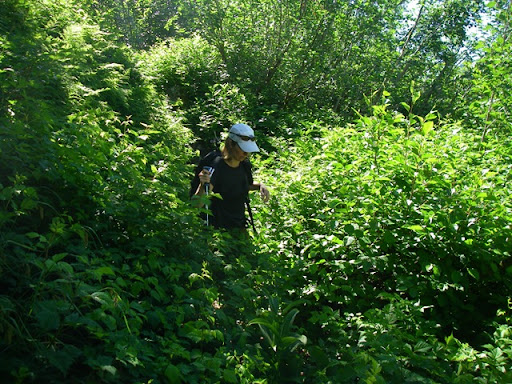
Killaine in the bush
In spite of this picture, the bush, and time in the trees was completely minimal - maybe 15 minutes in trees 'til you break out into the open - then open hiking the entire rest of the way

Killaine past the first snow field
The route up was quite straightforward - boulder hopping along the side of the stream to the first snow field, then up a bit of steeper rubble to the glacier morraine area.
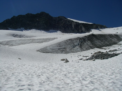
Cypress Peak above the glacier
The route continues under the toe of the glacier (not actually on the glacier). Still lots of snow around.
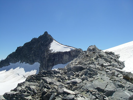
The peak from the ridge
Finally, some broad snow slopes eventually put you on the upper ridge - the route to the summit is straight ahead!

Bergschrund below the peak
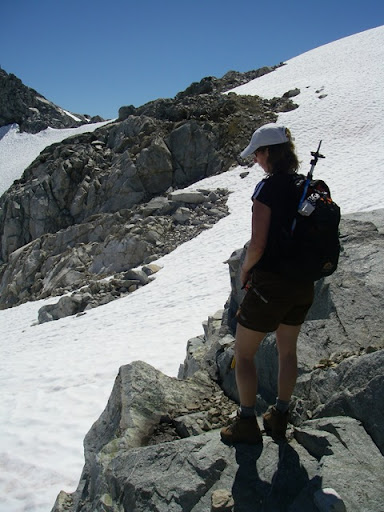
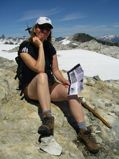
Killaine contemplates her self-arrest skills against the short gully traverse / bravely decides not to cross the gully.
However, there were still some steep-ish snow areas to cross. Killaine didn't have alot of confidence in her self-arrest skills, so we decided it would be better to stop where we were. Probably a good thing, 'cause there were some spots of tricky scrambling up ahead.

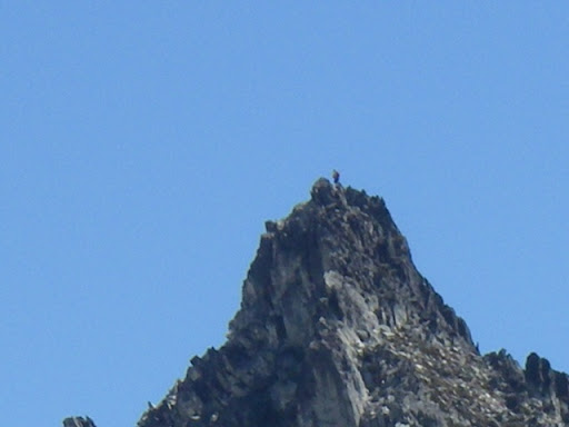
Mike, who we met at the start, on the summit (look closely).
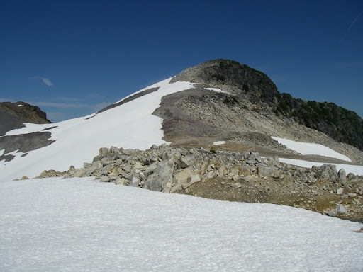
"Consolation Peak"
Instead, we walked the opposite direction along the ridge, and summited a small bump along it - easy scrambling up it, and nice views all around.
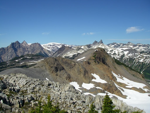
Looking north to Cayley / Fee / Vulcans thumb area (if I've got the names right)
The area up there is very cool - many interconnected ridges that you could spend a good couple of days exploring. We'll be back to this area shortly to scramble up Brandywine peak (somewhere in the above picture as well).
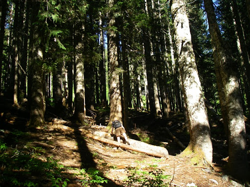
Climbing back through the trees to the logging road
So, although we didn't get the summit of Cypress, it was still a great hike in a very cool location ... and minimal time in trees!
Monday, July 28, 2008
Finally up Mount Price
Mount Price is a modest summit that sits up above Garibaldi Lake. Though quite an easy peak (mostly a "hike with altitude"), I'd been thwarted on two prior attempts. The first was back in winter ~1999 - we'd turned back on a ski attempt when a storm hit the area. My friend Mike & I tried it again in January, 2004 on another ski attempt, but ran out of time.
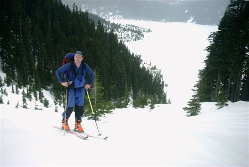
January, 2004 - about to run out of time on Mount Price
The biggest challenge with the peak is just the distance - it's about a 28km round trip, with about 1700m of elevation gain.
So, fast forward to last weekend - my colleague Rod was looking for a good final hike before moving back down to Colorado with his family - so I thought that Mt. Price would be a good objective - plus, great scenery above Garibaldi Lake.
We left the car at around 9am from the standard Garibaldi Lake parking lot - we quickly dispensed with the switchbacks and covered the 9km and 900m up to the lake in 2 1/2 hours.

Rod at Garibaldi Lake - 2 1/2 hours in
The trail from the lake to Mount Price is well marked, though a little tricky to find the start of it from the lake. Thanks to the guidebook, the description was easy to follow.

Mount Price (2nd peak from the right)
The trail to Mount Price was generally gentle and a pretty good trail by coastal standards. However, there were several areas of Talus (from old lava flows - Mount Price is apparently an ancient volcano) to slow things down.

Mount Price above the old lava flows
The final scramble goes up and over the summit of Clinker Peak. Again, straightforward hiking for the most part.

Rod climbing a snow slope, the Black Tusk on the horizon
The weather had started to turn a bit, though - with clouds getting lower and darker skies to the west.
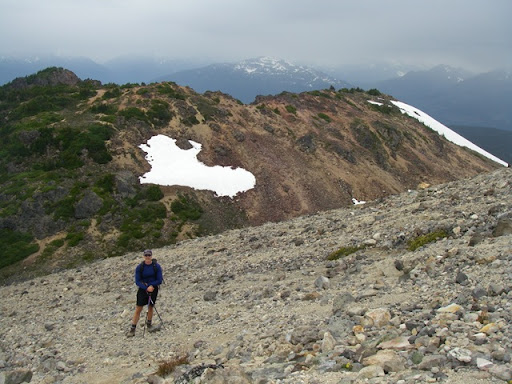
Final slopes - Clinker Peak in the background
We made the summit at around 2:45pm - about 5 3/4 hours after starting.
We started getting a few drops of rain at the summit. Not quite the views I was hoping for ... clouds were coming in and out, and we only got fleeting views of Mount Garibaldi, the Neve, and points beyond. We hung around the summit for around 45 minutes hoping for views to improve. But, they never did - no bother, it was still a great place to be.
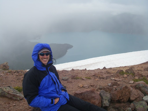
Rod at the summit

A final view of Garibaldi Lake
The descent went reasonably quickly, although the final trail down from Garibaldi Lake to the parking lot was it's usual tedious self. Finally got back down to the car at around 8pm - total time up and down of around 11 hours.
It was good to finally knock off Mount Price, and it was great to give Rod one final "send off" hike.
Sunday, July 20, 2008
Helm Creek / Gentian Ridge
I've been getting a little antsy to get out into the mountains for a bit more than a day - and preferably camp somewhere - ideally up in the alpine or something like that!
So, this weekend I laid my plans to get away, but then learned that Killaine's friends Tara & Neil from Ottawa would be visiting. So ... I adjusted slightly, changing to a quick getaway from work on friday and a hike in, then something a bit longer on saturday followed by a hike out - getting back to Vancouver early saturday evening.
I had originally planned on going up to Brandywine Mountain, but discovered that the access was closed (I didn't know that there was a different way in). So, a quick change of plans, and I headed up Helm Creek into Garibaldi Park.
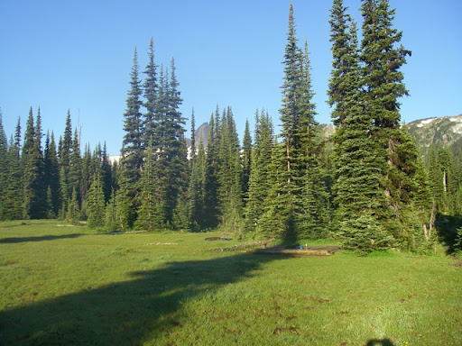
It took about 2 hours to hike up to the campground where I spread out my bivy sack.
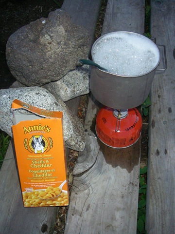
... and made a small supper on my small stove. There was just one other tent in the campground, and I never saw those folk. It was nice and quiet - even the mosquitoes eventually went to bed (when it got too cold).
The next day dawned clear - with clouds just down in the valley. I made breakfast (mmm ... instant coffee), and left the campground at around 8am. So, up I went to check out the Gentian Ridge approach to Gentian Pass.
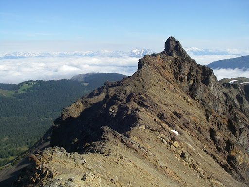
This is Helm Peak, up on the ridge. Scramble-able, but difficult. I gave it a miss for today.

Great view of the Black Tusk. Still snow up there, but getting patchy and melting quickly.

North face of Garibaldi peak.
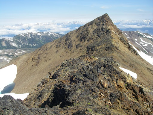
Some of the terrain along the ridge. It was pleasant hiking with a bit of scrambling, and non-stop views.
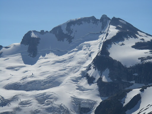
The north face of Castle Towers. The south (right) peak is an easy scramble - the main summit is a bit tricky. I'll have to come up on a weekend and give it a shot.
From Gentian Pass, I pondered heading across the Helm Glacier and circling back via Panorama Ridge. But, decided to decline crossing the glacier - perhaps not completely wise to cross it on my own with softening snow.
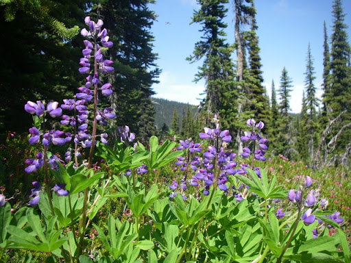
Pretty flowers back down in the meadows. Back at the campground at around 1pm. A quick lunch, then back to my truck, getting there at a little past 3:30pm.
Great hike to a spectacular area!
Friday, July 18, 2008
Hike up to Paton Lookout
I did another famous (?) carbon-neutral bike & hikes from home again today - this time to Paton Lookout.
Paton Lookout is up the Seymour Valley - approximately above the fish hatchery / dam area. It's appeared on my radar recently - my friend Todd has been up it a couple of times, the last time to use it to do a traverse of the Needle Peaks. Similarly, Doug from NSR has used it to access Colliseum/Burwell - the same route can extend to Cathedral Peak (as a two day trip).
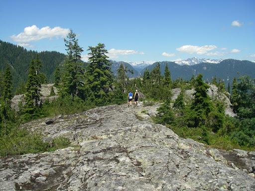
Looking across north the lookout area.
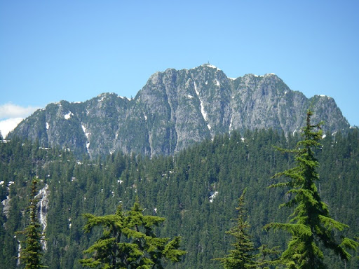
Cathedral mountain from the lookout - if you look closely, you can see the repeaters on top (including one of NSR's).
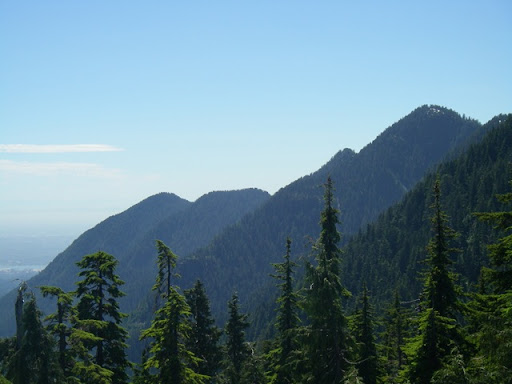
Looking down the valley from the lookout, across the South Needle and Lynn Peak.
It was a relatively quick trip - from home to the trailhead was about 45 minutes. 1 !/2 hours up the trail, then back home - altogether about 4 hours and a bit.
Sunday, June 22, 2008
Up the South Needle with Trevor
On the Sunday of Trevor's visit, we decided to go for a hike ... and decided to take a wander up the South Needle.
We were able to make this a carbon-neutral ascent, cycling from my home in Lynn Valley up to the Hydraulic Creek trailhead along the Seymour Pathways.
Trevor & the stashed bikes
We stashed our bikes in the trees, and headed up ... losing the proper trail almost immediately (no idea how we did that!), necessitating a bit of a traverse back to the trail once we realized our error.
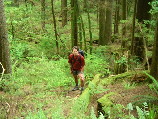
Trevor heading up the trail
The trail was generally very good - steep, of course (this is the north shore), but well marked and easy to follow. There were a few slightly bushy sections higher up, but nothing too bad.
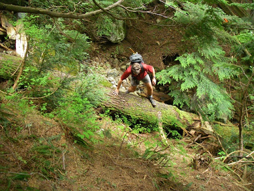
Trevor climbing over a log on the trail
Once we reached the ridge, it was a straightforward wander along the well marked path to the summit of the South Needle - good views all around.

Trevor at the summit
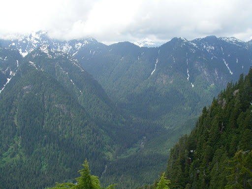
View into the Hanes Valley from the summit.
The descent back down was again very straightforward, and a quick bike ride out, followed by a coffee at the "End of the Line" cafe in Lynn Valley.
Here's a video panorama from the top:And ... Trevor has some more pictures at his website.
Great visit Trevor! Thanks for coming out!
Subscribe to:
Posts (Atom)


 Posts
Posts

